ArcGIS REST Service Parser is an Oracle SQL-driven application I designed for managing published ArcGIS REST Services.
What is an ArcGIS REST Service? An ArcGIS REST Service is a GIS Service published on an ArcGIS server and considered a resource and can be accessed through a URL such as https://basemap.nationalmap.gov/arcgis/rest/services/USGSTopo/MapServer (USGS). This URL is also known as REST endpoint. Each ArcGIS REST Service usually has properties that describe it, operations that can be performed on it, and child resources.
How does my application work? It consists of two major parts - parsing and searching.
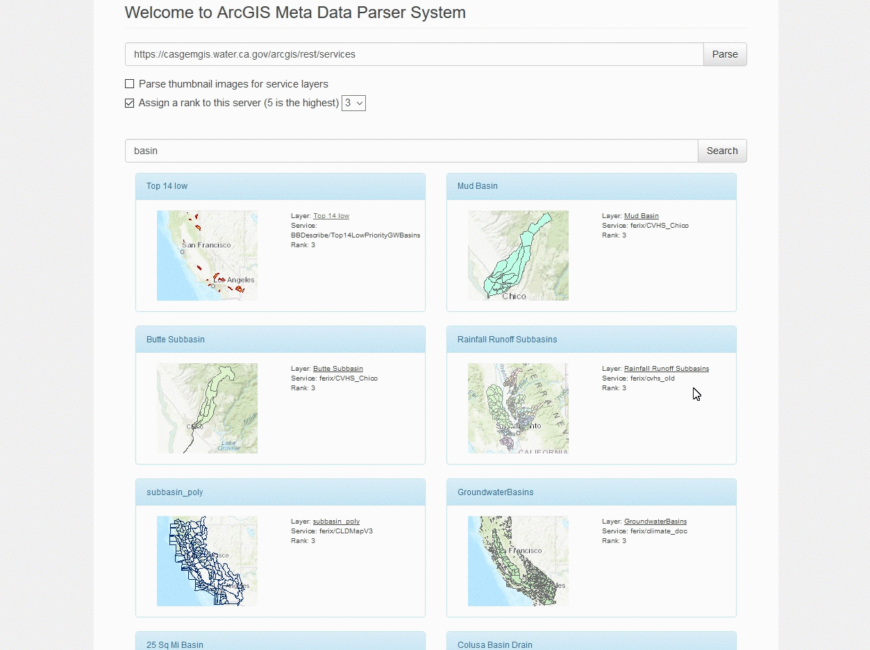
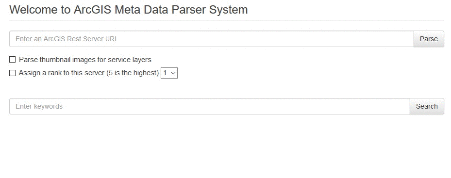
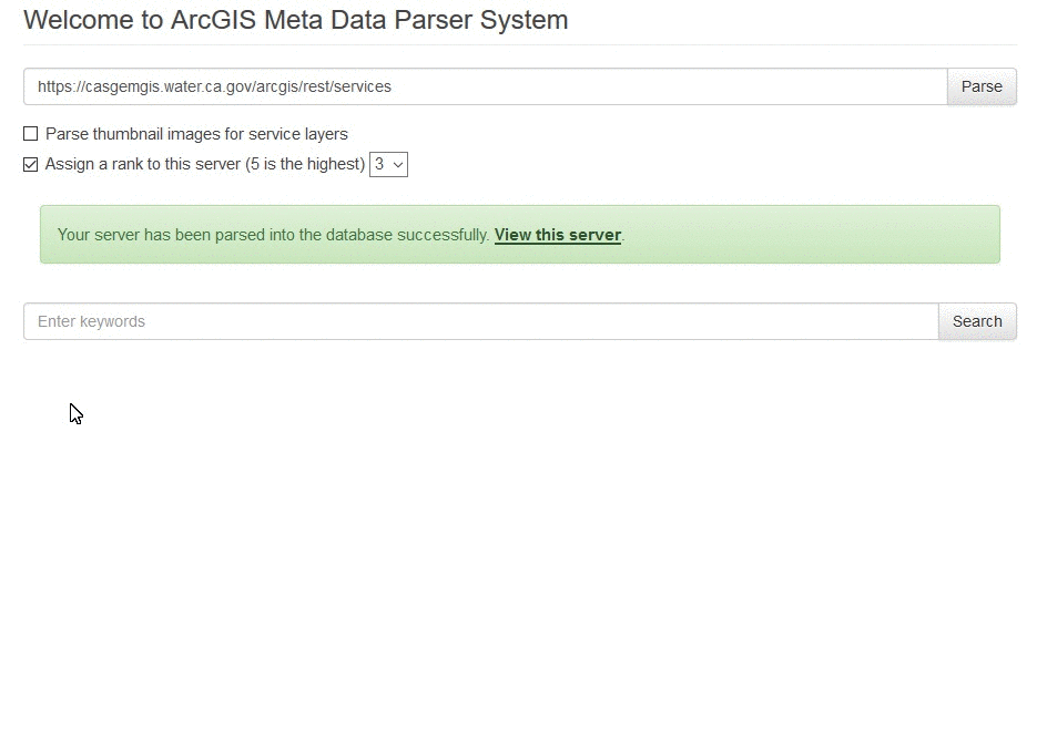
First, a user can parse in services by simply entering the service URL. This URL can be at either server or layer level. A user can also decide whether to create thumbnail images or assign a rank to those services. If the thumbnail option is checked, the parsing process would create an overview visualization for this service.
Then, a user can search any parsed services in the database by keywords.
Last but not least, a user can click onto each search result to enter the Web GIS interface and play around with the selected layer.