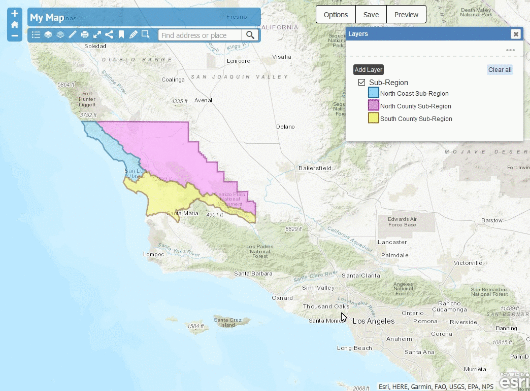
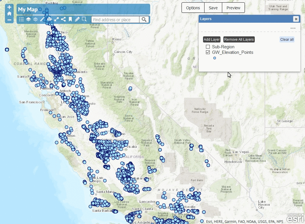
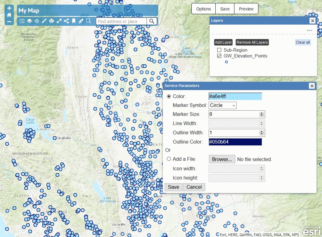
Creating a symbol editing window on the Web GIS Application simply mimics the process of symbolozing a layer in ArcMap Desktop. Users can symbolize feature layers in different ways depending on the type of data.
To summarize how I build this functionality:
- A dialog object is created in JavaScript to allow a user to enter different settings, such as fill color or outline color.
- When a user clicks the save button, all the symbol settings will be saved as a configuration and attached to the layers.
- At the same time, a JavaScript function,
renderSymbology, will be called to render new symbols depending on render type. - Another JavaScript function,
makeLegend, will be called to fire any legend changes. - Last but not least, when a user reloads the application, layers will appear as
how the user defines it to be from the last editing.
renderSymbologyandmakeLegendfunctions were called again to generate the customized symbols by grabbing the updated symbol configuration that is attached to each layer.
Demo 1 - Styling a SymbolMarkerSymbol
Demo 2 - Converting a SymbolMarkerSymbol
to a PictureMarkerSymbol
Demo 3 - Playing with UniqueValueRenderer